Serving Walla Walla & Eastern Washington
Aerial photo, video, and property documentation for farms, land, job sites, and local stories across Eastern Washington.
Drone work from someone who knows the ground first.
Clean aerial visuals and practical documentation for farms, contractors, landowners, real estate, businesses, weddings, events, and local storytelling.
Serving Walla Walla, Touchet, Waitsburg, Dayton, College Place, Milton-Freewater, and surrounding Eastern Washington areas.
Clear use cases
Best For
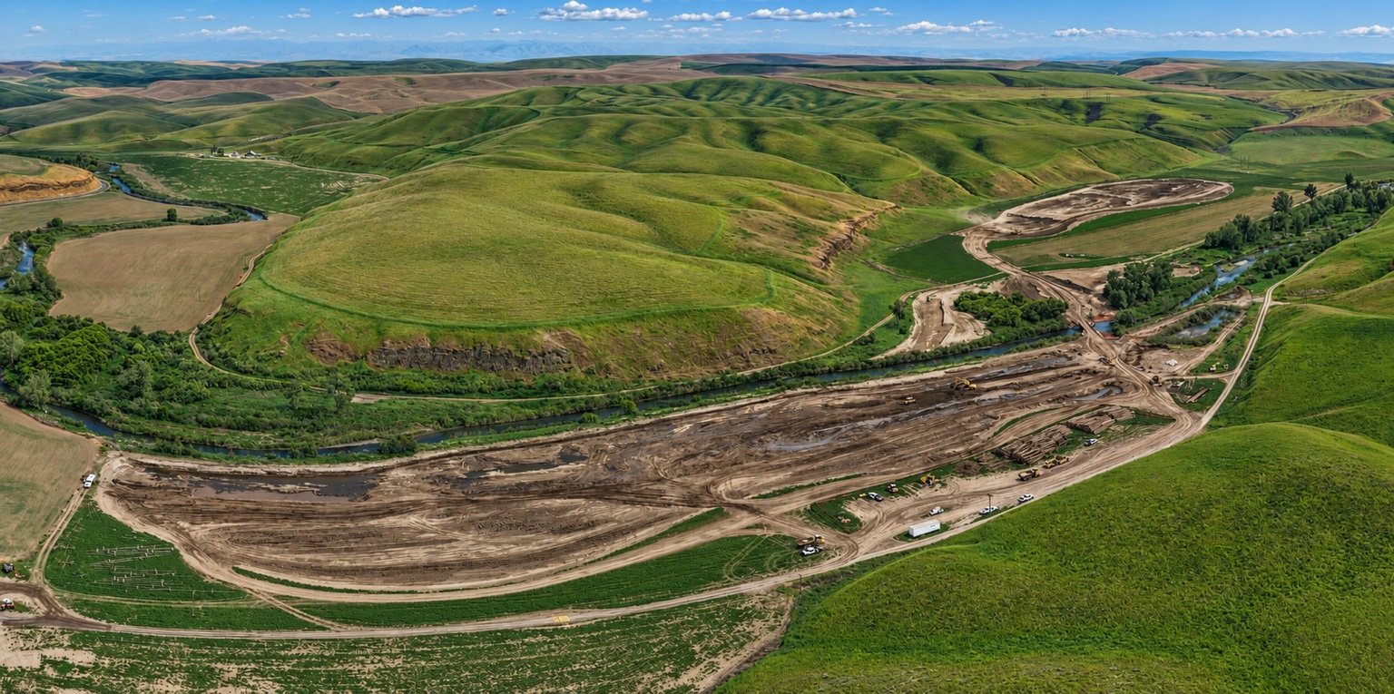
Job-site progress documentation
Real estate and property visuals
Vineyards and local businesses
Weddings and outdoor events
Before-and-after project records
Local history and legacy property stories
Simple process
How It Works
Send the location
Text the property address, project area, or general location.
Tell me what matters
Progress, access, damage, equipment, listing photos, field views, or storytelling.
I plan the flight
I check weather, airspace, safety, light, and the best angle.
You get clean visuals
Photos or video delivered for records, marketing, social media, or project updates.
Professional drone work with safety and respect first.
Flights are planned around weather, airspace, visibility, property boundaries, people, animals, equipment, and privacy. Every project is handled with permission, purpose, and respect for the land.
Strong business lane
Job-Site Progress Documentation
Useful aerial records for contractors, property owners, excavation work, road access, equipment placement, before-and-after views, and project updates.
Services
What I Can Help Document
Aerial Photo & Video
Clean aerial visuals for farms, land, businesses, weddings, events, real estate, and local stories.
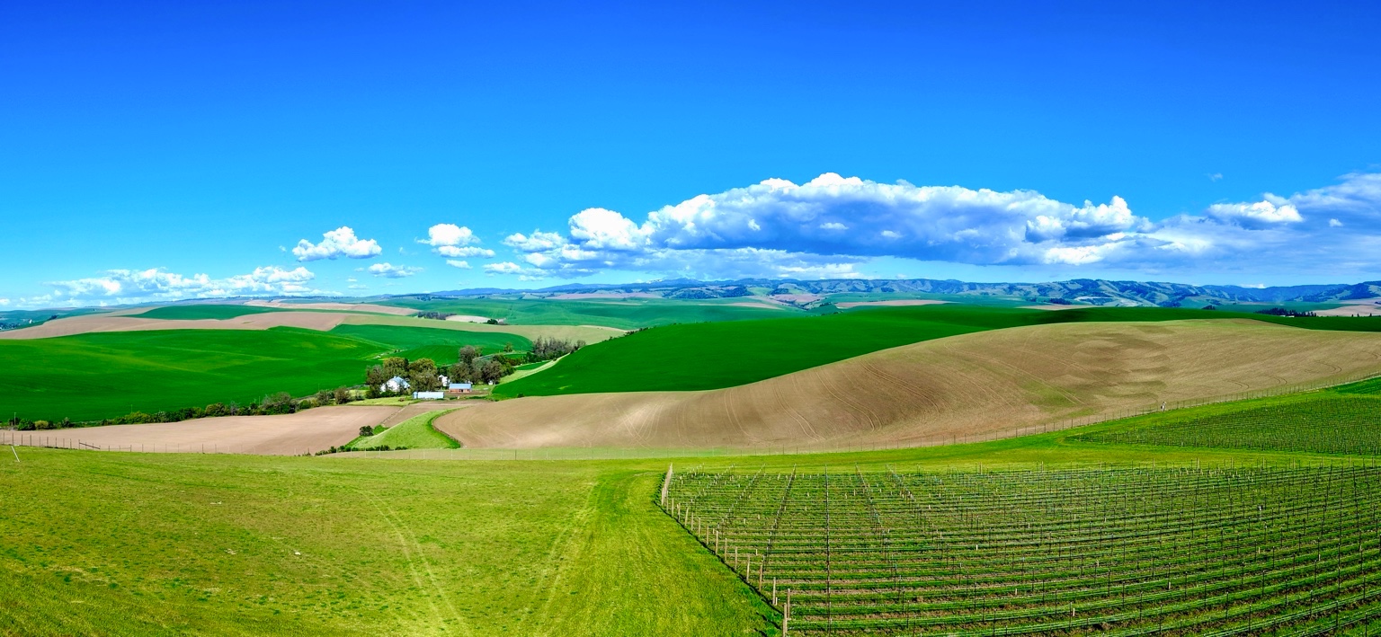
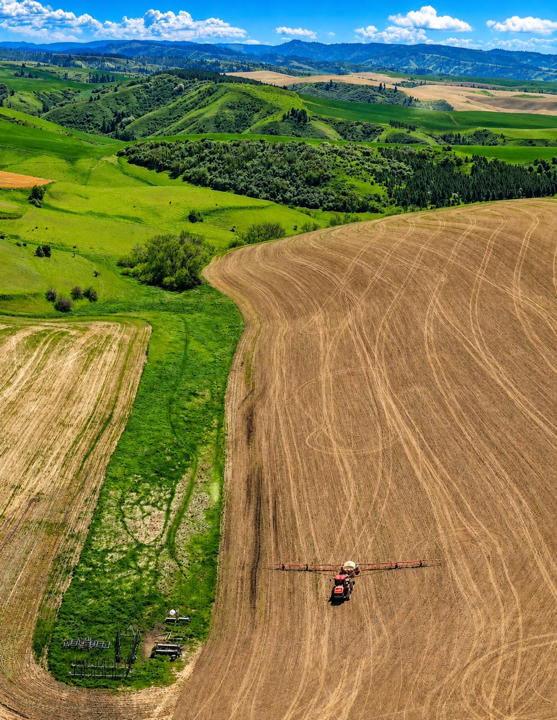
Farms & Land Documentation
Field views, crop patterns, harvest activity, equipment, property overviews, and seasonal documentation.
3D Mapping-Style Visuals
Mapping-style visuals, property overviews, progress documentation, and site records.
Job Sites & Progress
Before-and-after views, project updates, construction progress, access routes, and site storytelling.
Vineyards, Property & Real Estate
Clean visuals for vineyards, properties, listings, businesses, and Eastern Washington landscapes.
Weddings & Outdoor Events
Aerial photo and video for weddings, outdoor venues, family celebrations, church events, community gatherings, and special events.
Businesses & Social Media
Drone visuals for local businesses, promotional content, gatherings, and social media storytelling.
Local Storytelling
Heritage farms, historic places, family properties, churches, cemeteries, and places worth remembering.
Start simple
Ready to document a property, project, or piece of land?
Text Kris with:
- Property location
- What you want documented
- Photo, video, or both
- Best time of day if it matters
Kristopher Patton · Owner / Operator
509-386-6251 · mysticalpnw@icloud.com
Walla Walla Drone Company provides aerial photo, video, mapping-style visuals, event coverage, and documentation support for farms, land, job sites, weddings, events, businesses, and local stories across Eastern Washington.